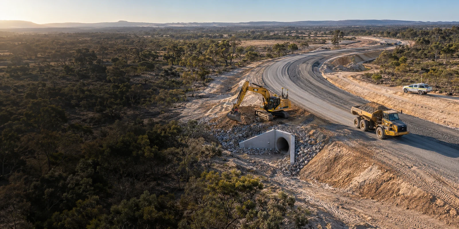
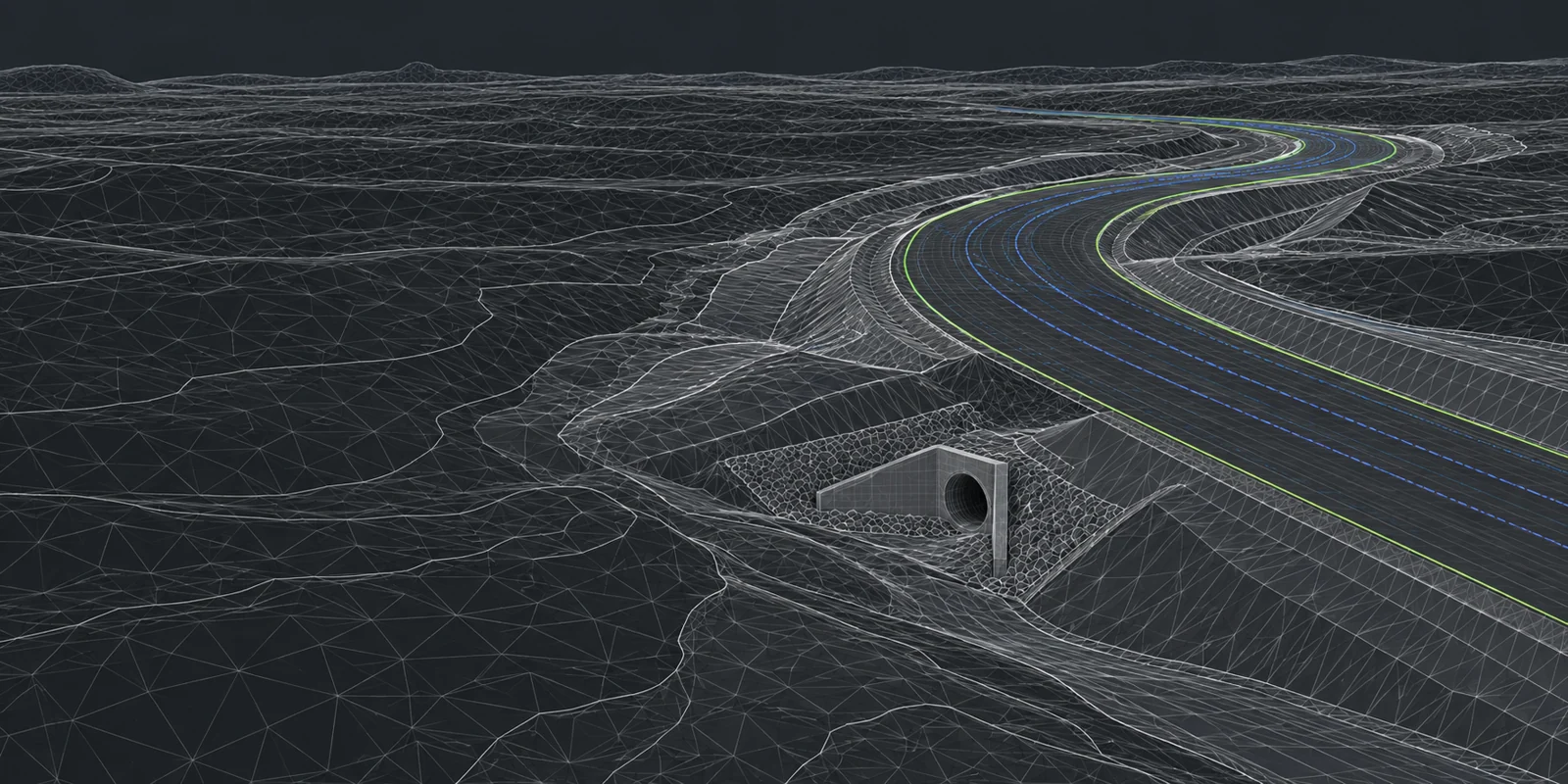
Drone capture of a subdivision road under construction, loaded into Project Prime’s survey software (demo data)The same ground as a design model: contours, road strings and chainages (demo data)

You build it.
We’ll prove every metre.

Quantities checked before you price it, variations proved while you build it, and the handover records signed off at the end — on software we write ourselves.

Tell us about the job

Demo data in our own software, not a client project. Drag to compare the capture and the design.

We build the software we survey with.

Project Prime writes its own surveying and checking tools. That is why we can compare surfaces instead of drawings, and hand back a record you can open rather than a file you have to chase.

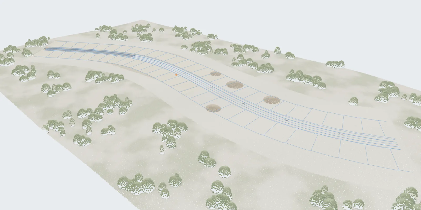
A drone capture of a subdivision under construction in 3D, with the road design laid over it (demo data)
Demo data in our own software: a drone capture in 3D with the road design laid over it.

Services by project stage

Where we fit in the job.

Every service, from tender to handover. Pick the stage you are at.

Land development support All three stages

For developers, we run the whole journey above: site and purchase review, town-planning and subdivision coordination, pre-calculation plans, tender, construction controls and handover.

View all services

The work, made clear.

From issued drawings to checked quantities, machine files and current project records.

Illustrative in-cab machine-control display showing the road design to the operator
Illustrative machine-control display
  1. 01

    Send what you have

    Industry-standard issued files, drawings and site records.

  2. 02

    Know what has changed

    Quantity checks, drawing comparisons and variation support.

  3. 03

    Put it to work

    Machine files, checked quantities and cost-to-complete reports.

Project experience

Built around live civil work.

See the projects
3 years
Continuous survey support on the Bunbury Outer Ring Road
MRWA
Construction survey and as-constructed deliverables
WCX + R-Spec
Water, sewer, road and drainage handover records

Brownfield roads & existing services

Find the clash before the crew does.

Compare existing ground, proposed levels and known services before work reaches site.

Illustrative WA brownfield example. Actual checks use the supplied survey, service records and current design revision.
  • Existing-ground TIN
  • Design TIN
  • Existing water
  • Existing communications
  • Proposed drainage
  • Potential conflict

Compare the surfaces

See where proposed levels change the road and tie-ins.

Find service conflicts

Check drainage and earthworks against known service alignments and levels.

Issue a decision list

Receive marked-up views, assumptions and clear questions for the project team.

Unknown service locations and levels still need verification. This review does not replace service locating, potholing or design approval.

Send a design to check
Scope, inputs and deliverables

Project systems

Your jobs.
One place.

Drawings, variations and project records, without the hunt through emails.

We can set up and host your portal, or help you run it in your own systems. Custom tools and AI-assisted checks where they save your team time.

Talk through your setup
Project workspaceExample only
ProjectLatest recordStatus
North access roadQuantities checkedReady for review
Drainage packageRevision C receivedCheck scope
Bulk earthworksMonth-end recordsIn progress

Illustrative records. Configured around your team's workflow.

What needs checking?

A quick conversation is often the fastest way forward.